Education
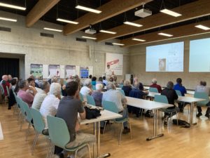
SISKA specialists give courses and lectures for the general public and schools (introduction to karst and speleology). Other courses on specific topics are given to professionals (offices and administrations) and at university level.
The Institute also provides educational material (publications, videos, teaching kits) on the themes of water, karst and caves.
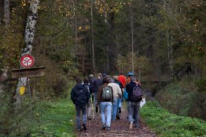
SISKA organises themed excursions explaining the evolution of the landscape, underground water flows, geology and karst biotopes. As part of these excursions, small groups can visit a cave. Some excursions are organised regularly, others ocasionnally.
We can organise excursions on request to suit your wishes. Don't hesitate to contact us!
Some examples of excursions:
- Groundwater in La Chaux-de-Fonds,
- the karstic landscapes of the Vaud Jura,
- the Areuse Gorges,
- the Goumois Cluse,
- the oasis of Le Locle,
- the Milandre underground laboratory,
- the Monlési Ice House,
- discover the underground environment at Môtiers,
- between ice and karst at Rochers de Naye,
- excursions to other parts of Switzerland are also possible (GR, SG, BE, BL, etc.)
Learning to read the landscape... by taking a walk
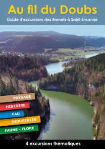
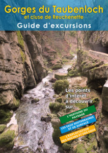
Découvrir des aspects particuliers et régionaux de la circulation des eaux souterraines dans l’environnement karstique, c’est ce que propose l’ISSKA au travers des guides Karst.
Along the Doubs
Taubenloch gorges and Reuchenette water gap
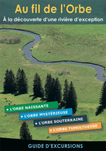
Along the Orbe, discovering an exceptional river
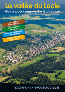
The Locle valley, a guide to understanding the landscape
Areuse gorges, guide to hydrogeological excursions

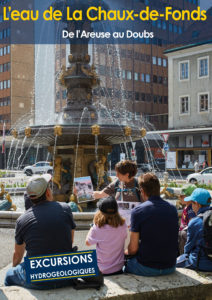
La Chaux-de-Fonds water, from the Areuse to the Doubs
The ISSKA publishes, in collaboration with the Swiss Speleological Society and other partners, various brochures related to karst and caving :
Wind turbines in karstic regions
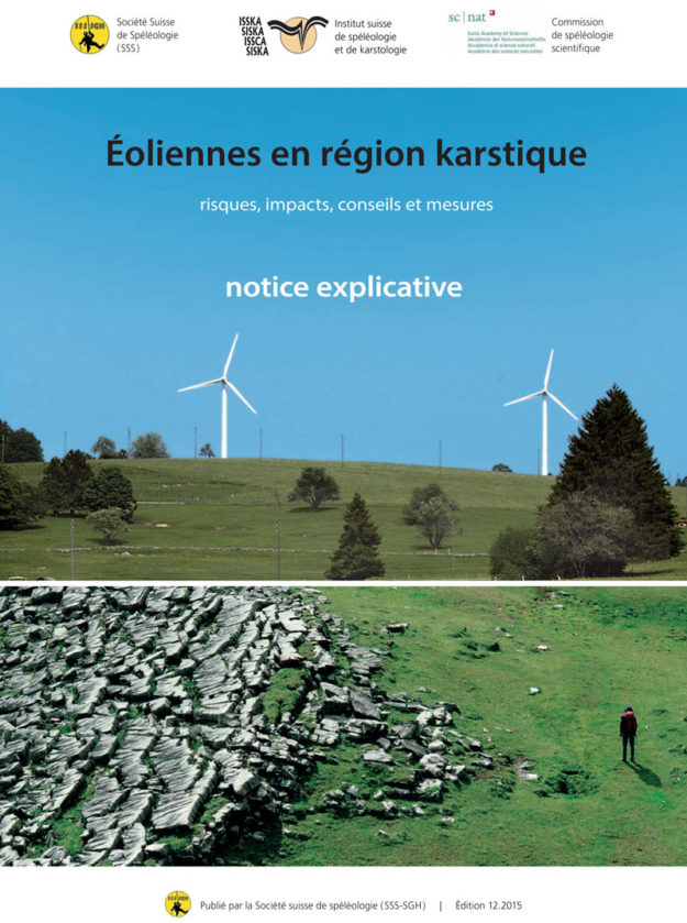
An explanatory note on the issue of wind turbines in karst environments, second edition 2025.
This brochure can be ordered for 9 CHF here.
Sinkholes
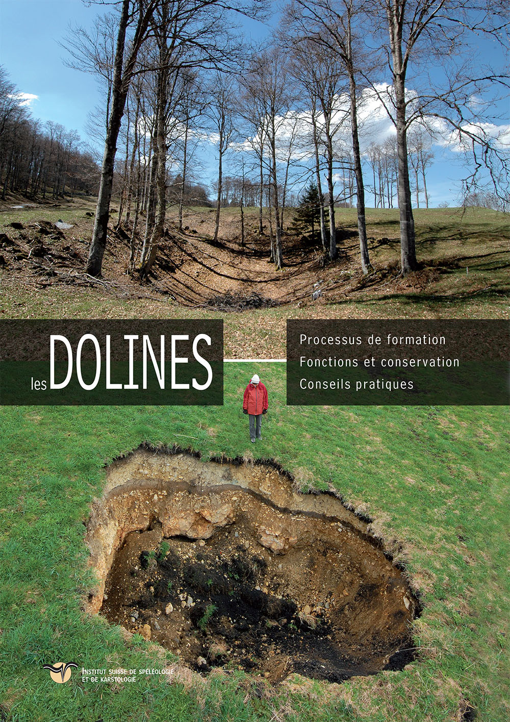
An information and advice brochure on the formation and conservation of sinkholes.
This brochure can be ordered free of charge here.
The Col-des-Roches underground Mills
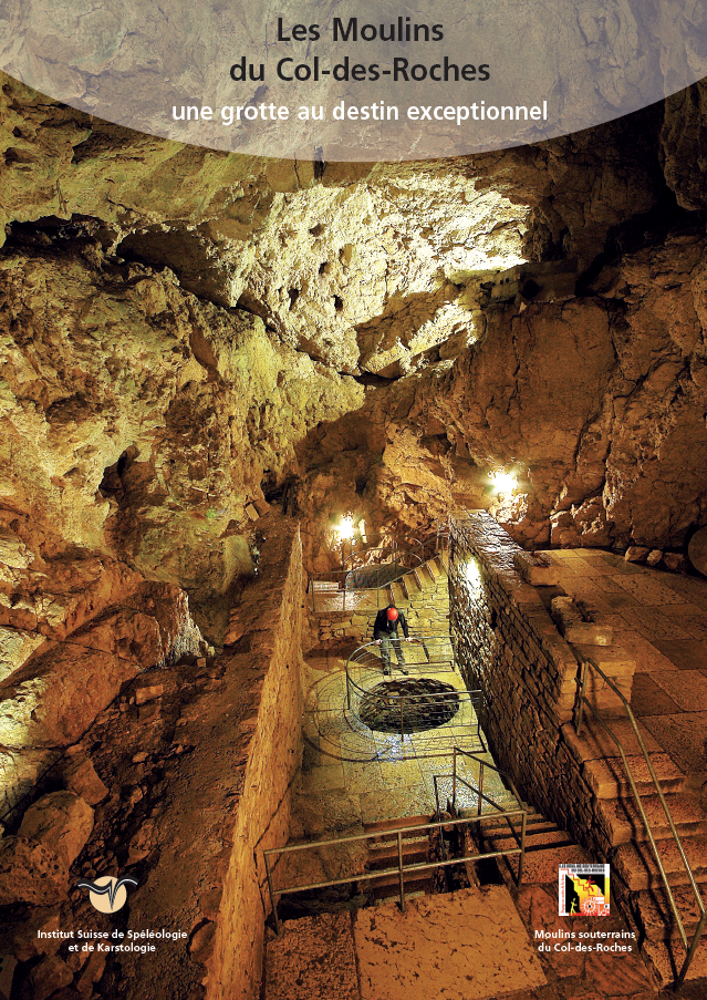
A documentary brochure highlighting the exceptional history of a cave. This 19-page A4 document (2012 edition) is published in collaboration with the Col-Des-Roches underground mills.
This brochure can be ordered for 9 CHF here.
Safe-Speleo, practice caving safely
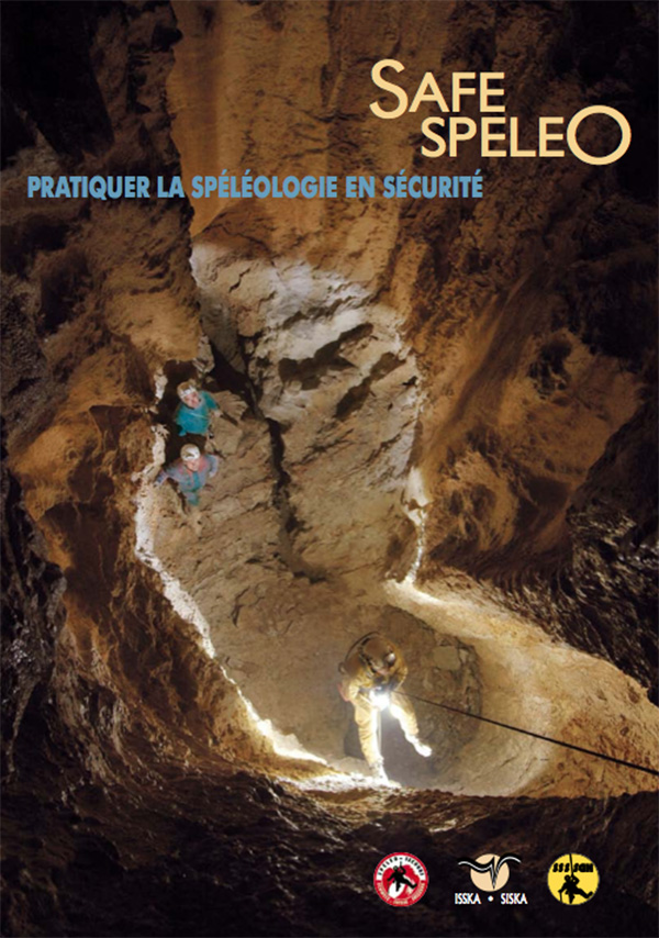
Produced by the Swiss Speleological Society, this 11-page A4 brochure (available in French or German) explains the correct way to practise caving safely.
This brochure can be ordered free of charge here.
Caves, fragile world
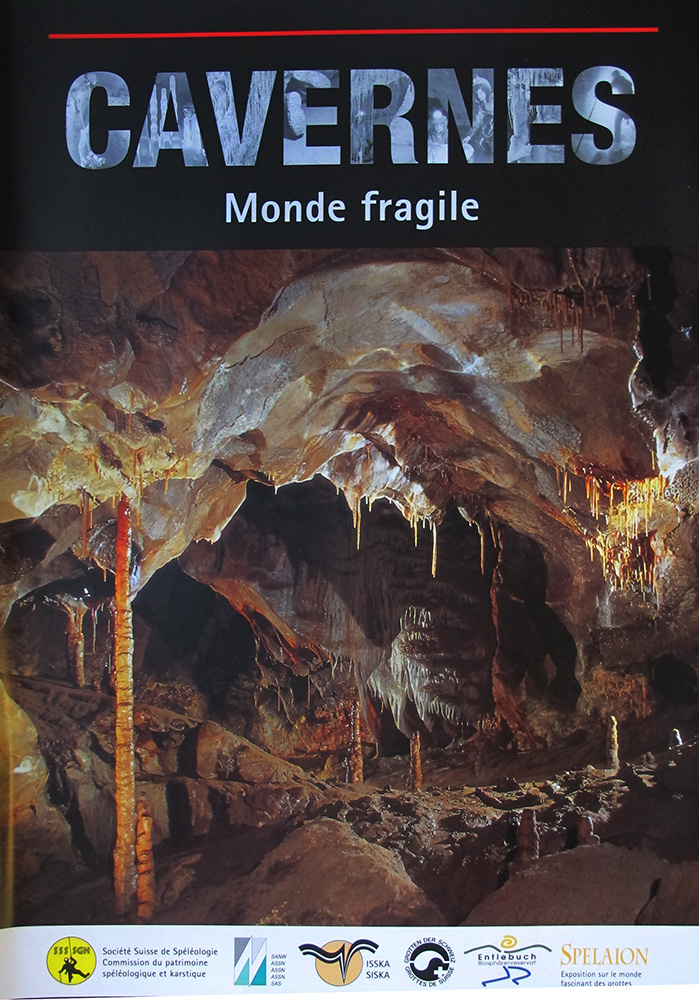
Produced by the Swiss Speleological Society, this 16-page A4 brochure (available in French and German) introduces the world of caves, the risks to this fragile environment and ways of limiting them.
Cette brochure est épuisée.
Beneath our feet, the karst
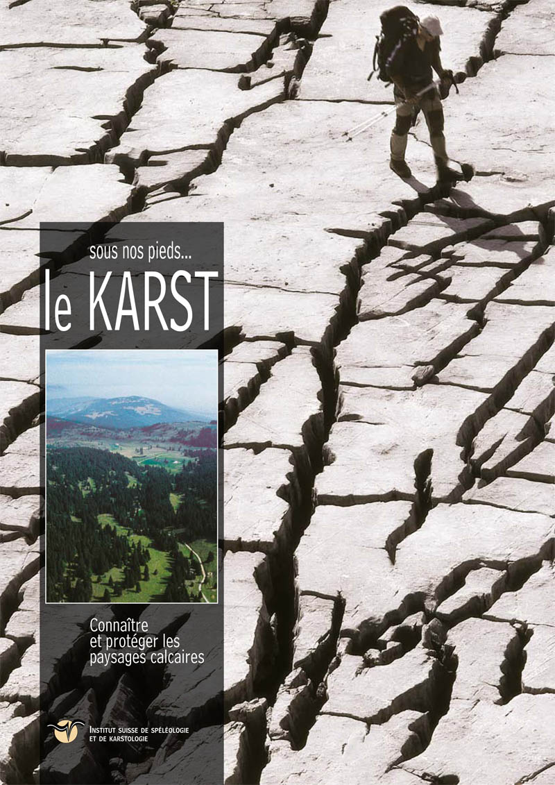
Produced by ISSKA, this 16-page A4 brochure (available in French and German) is aimed at the general public. It presents the essence of the Jura and Pre-Alps.
This brochure can be ordered free of charge here.
Discover our books on the underground world
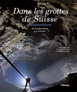
In the caves of Switzerland. From exploration to science
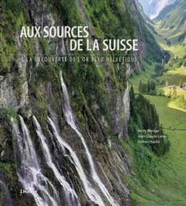
At the source of Switzerland. Discovering Switzerland's blue gold
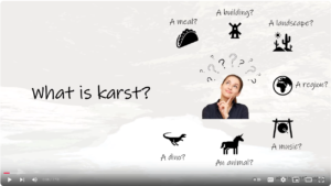
Our videos are on YouTube :
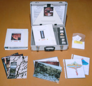
SISKA has designed an original teaching kit "Underground water, karst and caves", ready to use, and intended for all school levels from the 5th year of HarmoS (8-9 years old). The material enables teachers (even those who are unfamiliar with caves and karst) to introduce their pupils to groundwater, karst and caving, as well as related topics, in a fun and in-depth way.
The Powerpoint presentations, games and experiments contained in the case can easily be adapted to the level of the pupils, depending on the teacher's wishes and methods.
Some of the themes developed
- Geology (concepts)
- Cave formation
- Cave fauna
- Water flow underground
- Limestone landscapes
- Concretions, crystals
- Archaeology
- Protecting the underground environment
Prix de vente : CHF 750.- (Rabais) + TVA et frais d’envoi. Available in the shop