Geocomputing
SISKA regularly develops digital tools for the management, processing and visualisation of spatial data (3D geology, water resources, speleological networks, etc.) or temporal data (recharge and flow simulation, energy flows, etc.) relating to the underground environment.
These tools are used for the internal needs of staff or made available to geologists and hydrogeologists, via the webservice visualkarsys.com or the platform GitHub ISSKA.
Developments can also made on behalf of public institutions or private companies wishing to benefit from specific tools or digital support for the management and exploitation of their geological or hydrogeological data.
Main programming skills
- Python
- JavaScript
- TypeScript
- Rest API
- Docker
- PostGis
- Tailwind CSS
Programming areas
- GIS Software
- 2D/3D Data Processing
- GeoModelling
- Scripts
- Web
- Server
-
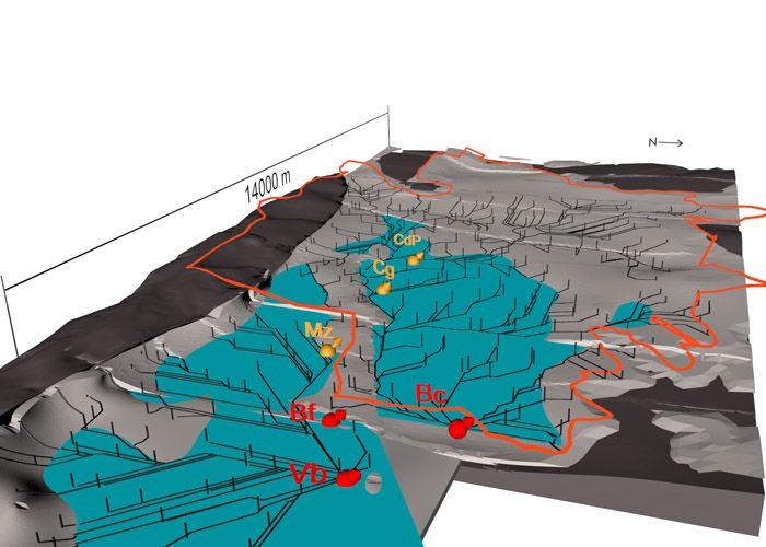

Modelling groundwater flow. SISKA
-
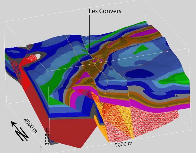

3D geological model of the Les Convers region (NE). SISKA
-
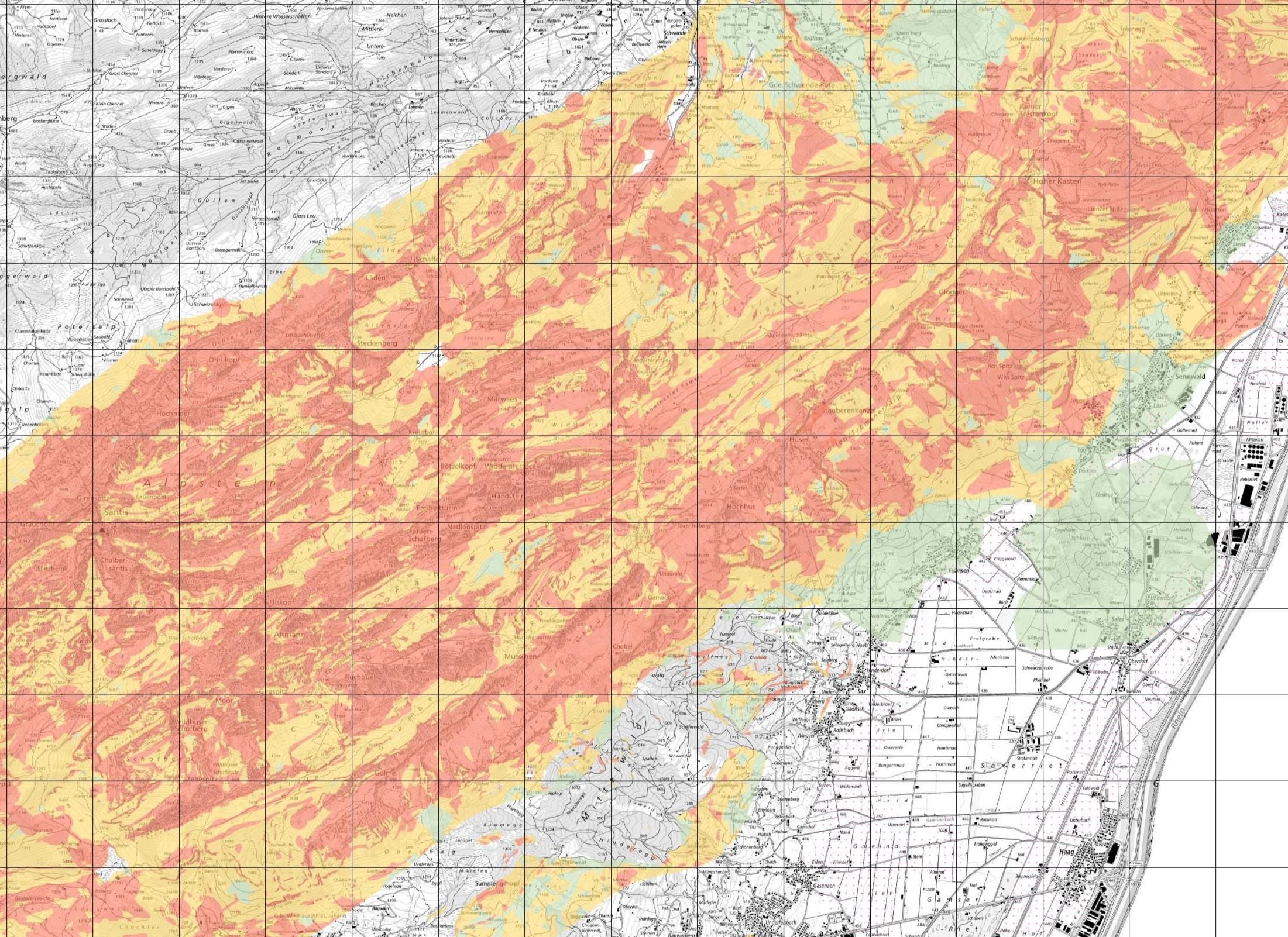

Vulnerability map of the karst in the canton of St. Gallen. ©ISSKA
