Geosciences
SISKA conducts scientific work in various fields related to karst: geology, hydrogeology, geomorphology and palaeoclimatology.
The knowledge acquired and skills developed within the Institute over more than twenty years enable us to deal with all the issues that may arise when conducting projects in karst environments.
SISKA supports and participates in both highly applied projects, such as tunnelling, and fundamental research projects, in particular by hosting and supervising doctoral and post-doctoral students.
Applied research
Water resources
Groundwater is the main source of water in limestone environments. These resources are often of good quality and in sufficient quantity, but the difficulty lies in their accessibility. Locating and sizing water production facilities to match needs with available resources requires prior knowledge of the environment and targeted investigations. SISKA provides solutions for researching, exploiting, managing and protecting groundwater in limestone environments.
Natural hazards
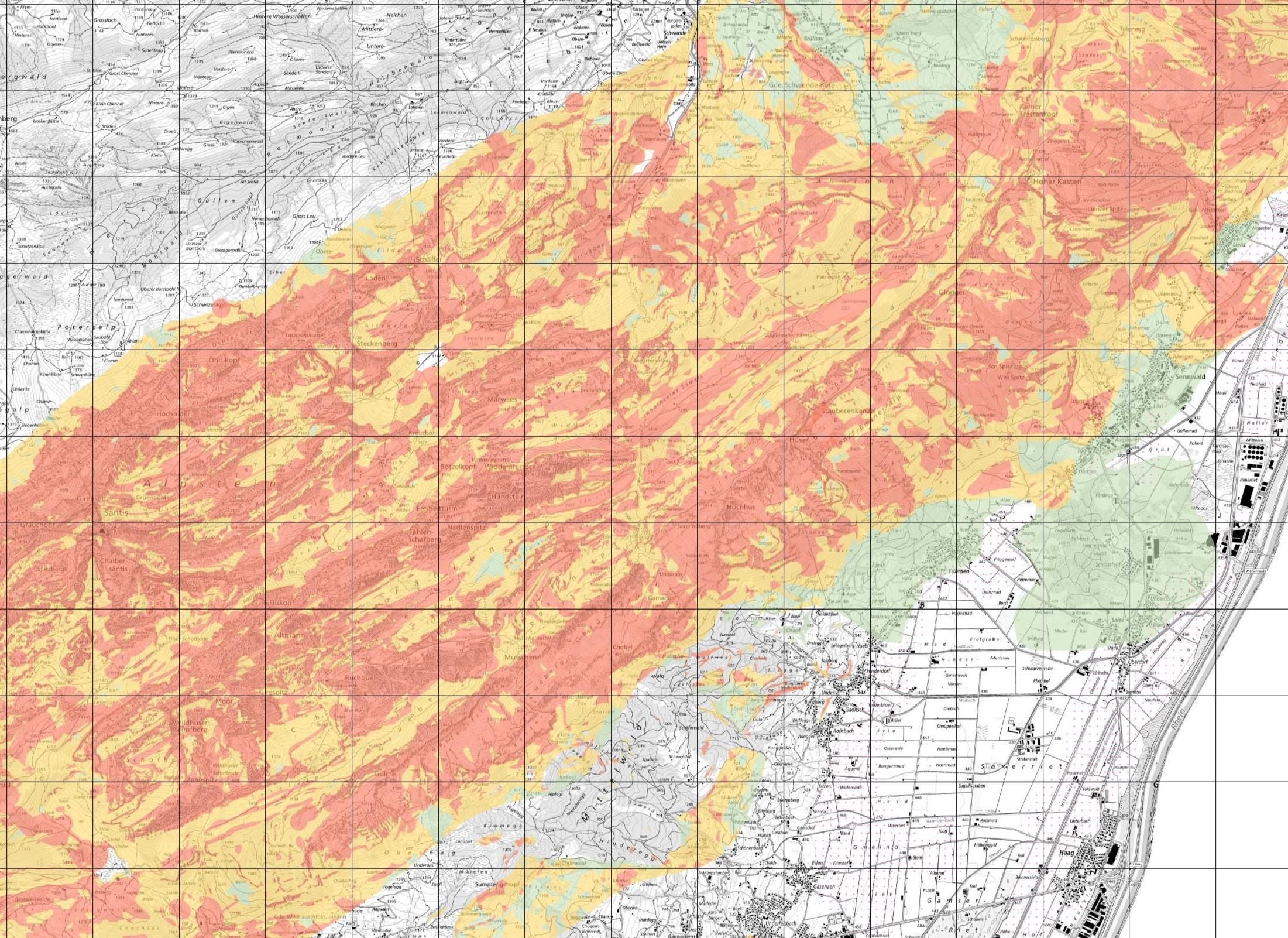
Karst plays a special role in the problem of natural hazards. SISKA has developed investigation methods for assessing and mapping the following natural hazards:
Risk of collapse in karstic environments
Collapses occur regularly in karstic regions. By studying these phenomena through concrete cases, we can predict the conditions that lead to these events. As a result, collapse risk maps can be produced.
Resources
-
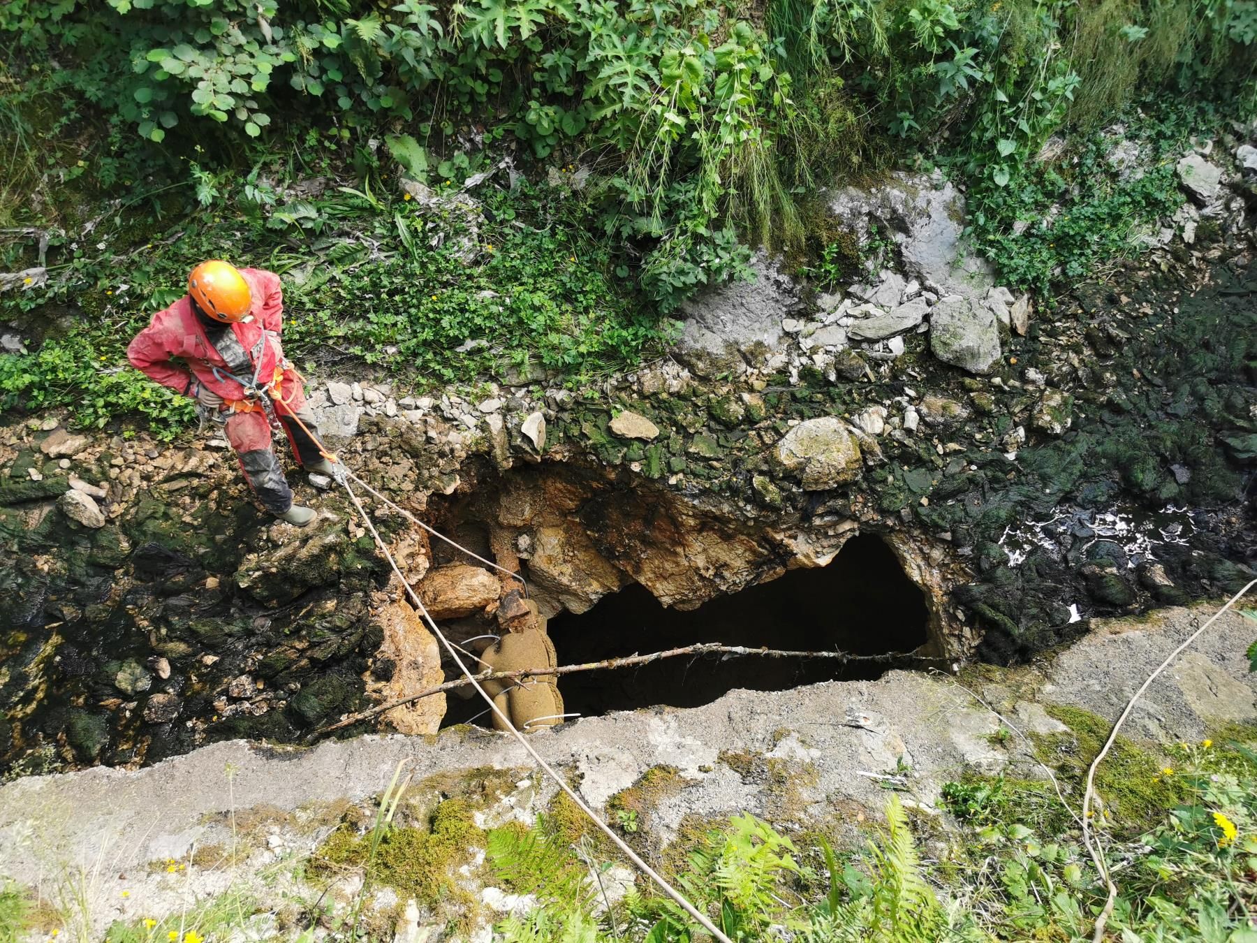

Collapse downstream of the La Chaux-de-Fonds WWTP. SISKA
-
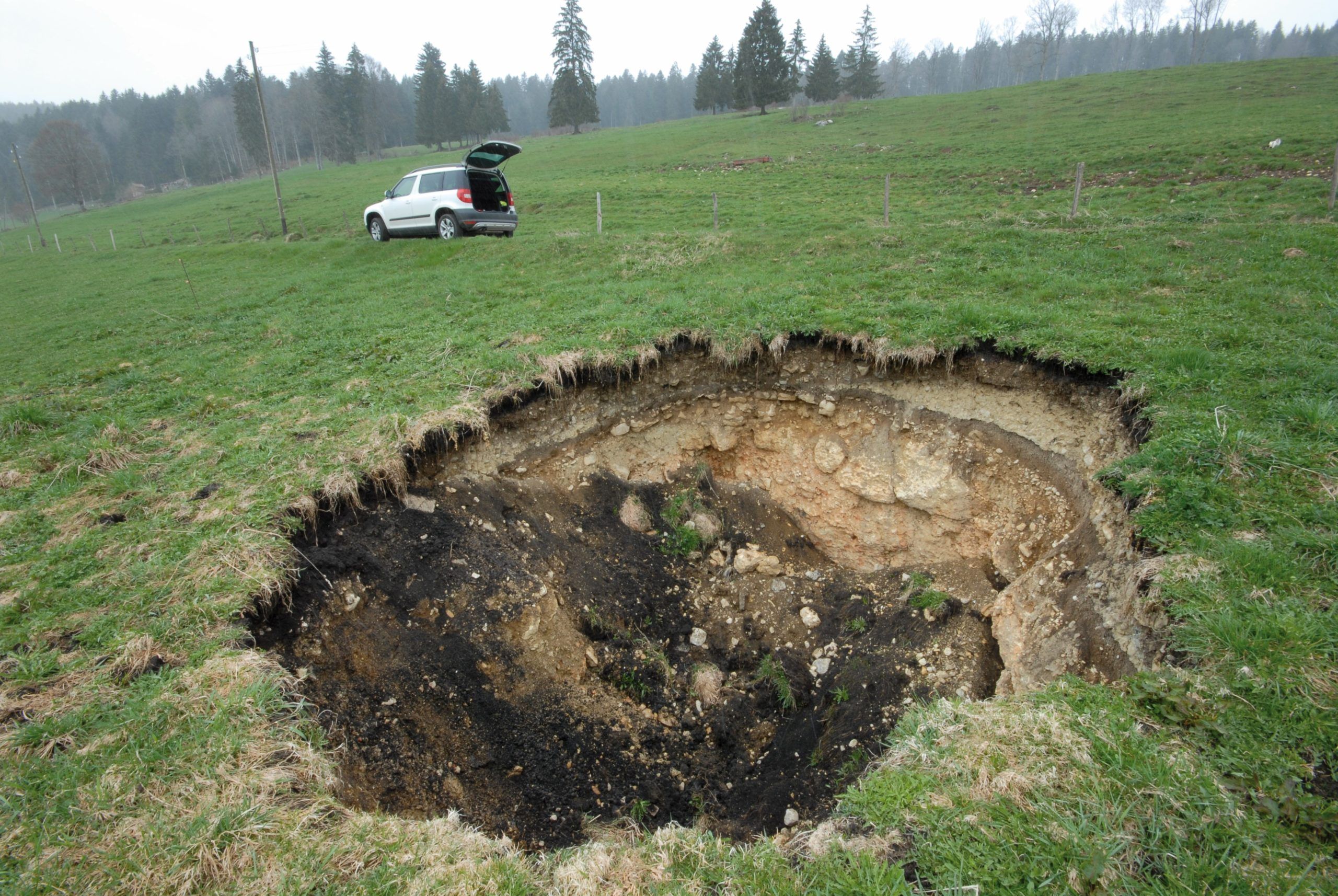

Collapse doline in a Jura pasture. SISKA
-
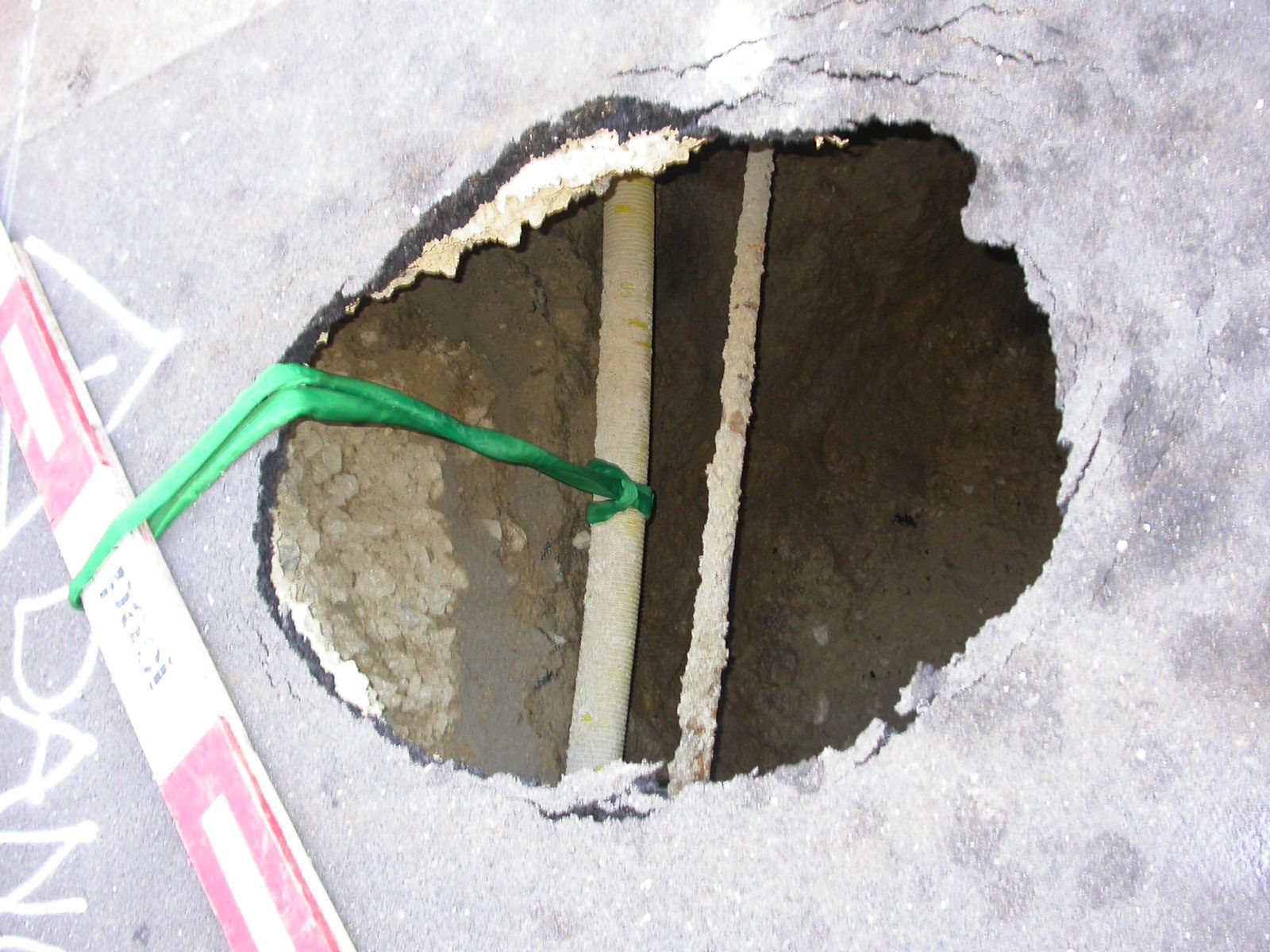

Collapse in the centre of La Chaux-de-Fonds (NE). SISKA
Danger of flooding in karstic environments
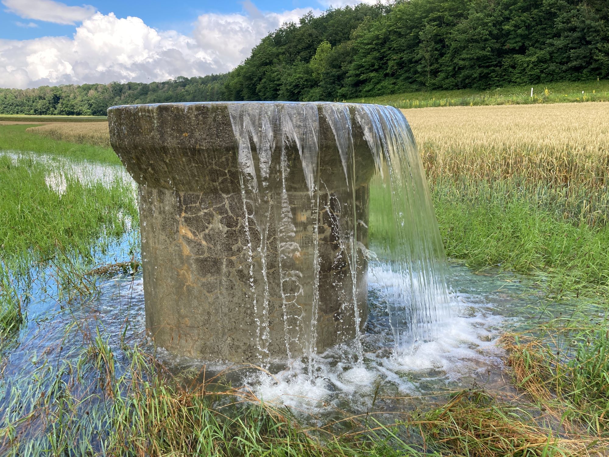
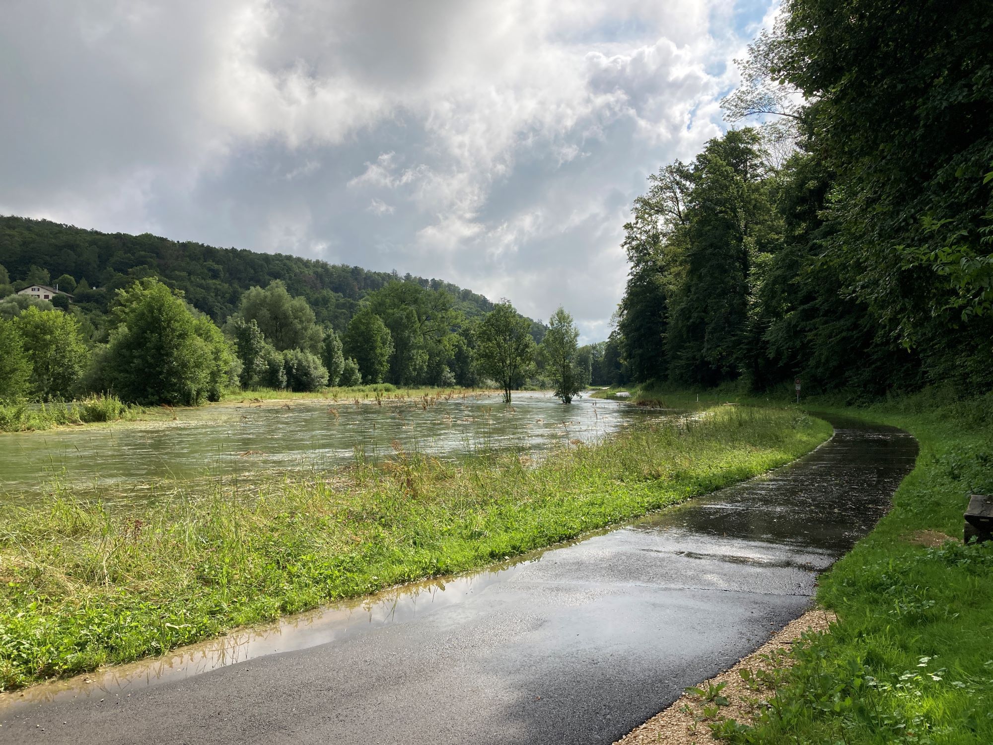
In karst, run-off is essentially underground and therefore invisible. However, the underground water table can sometimes reach the surface, flooding areas that are normally dry, and producing sudden and significant increases in river flow. Thanks to the models developed by the SISKA (KARSYS, KarstMOD), it is possible to forecast floods and river flows and produce flood hazard maps tailored to the specific characteristics of karst.
Civil engineering
The SISKA supports civil engineering projects in karstic regions and proposes solutions to prevent problems of stability, water ingress and grey water infiltration.
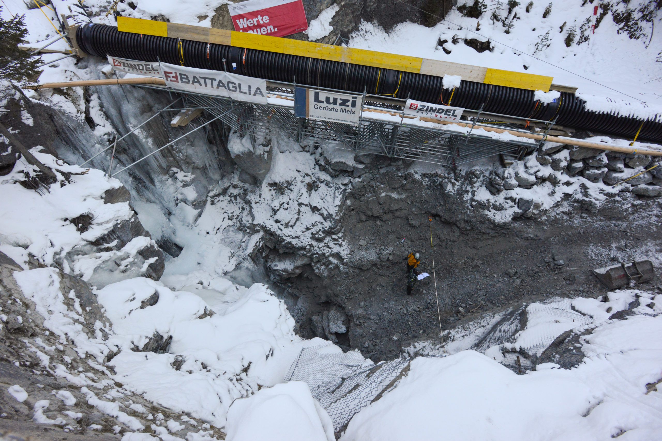
The SISKA is frequently commissioned to support surface development projects (motorways, wind farms) or the construction of underground structures (tunnels, galleries, etc.). Through its research and development activities, the SISKA has developed methods for identifying and remedying the problems posed by construction in karstic environments. The KarstALEA method, the result of collaboration with the Federal Roads Office (FEDRO), is an illustration of the practical methods developed by the institute.
Resources
Underground work
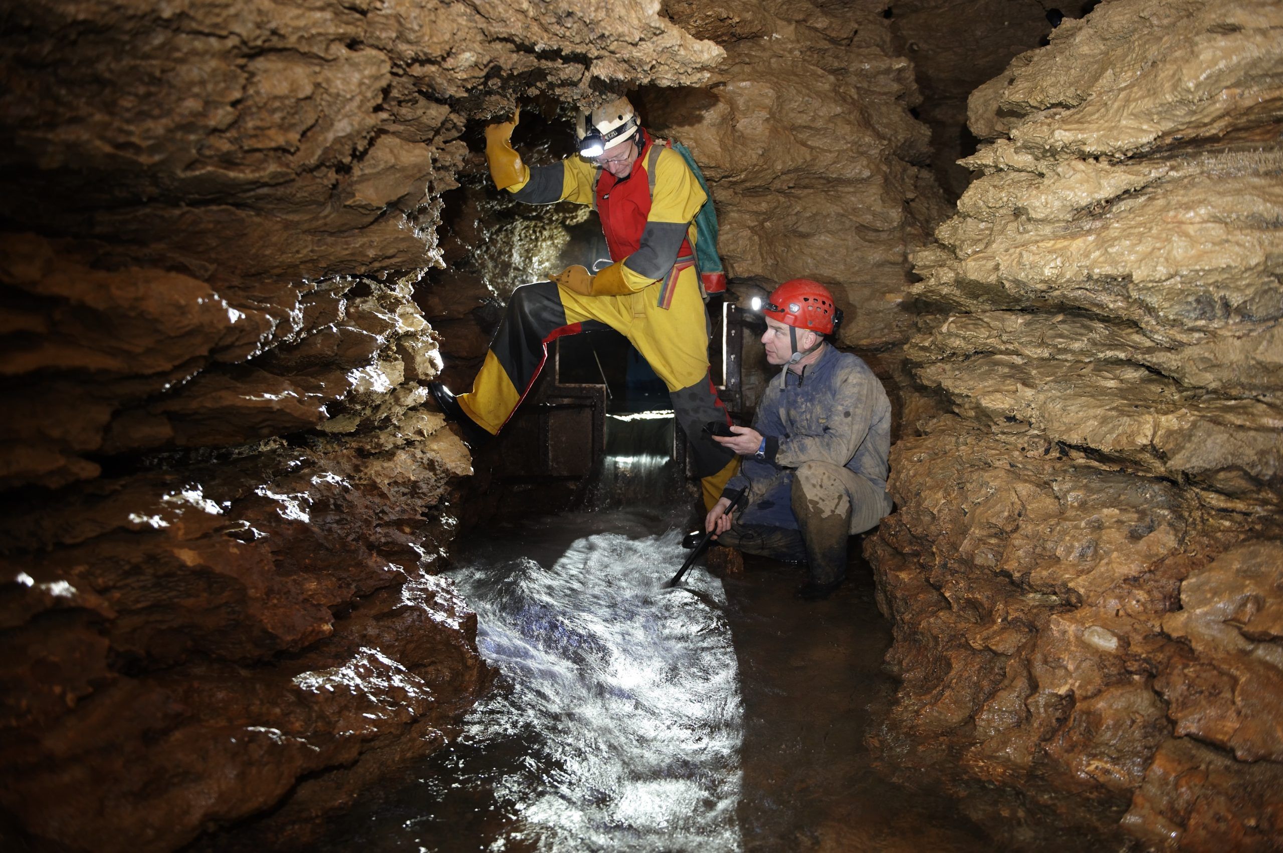
The SISKA specialises in underground measurements and documentation.
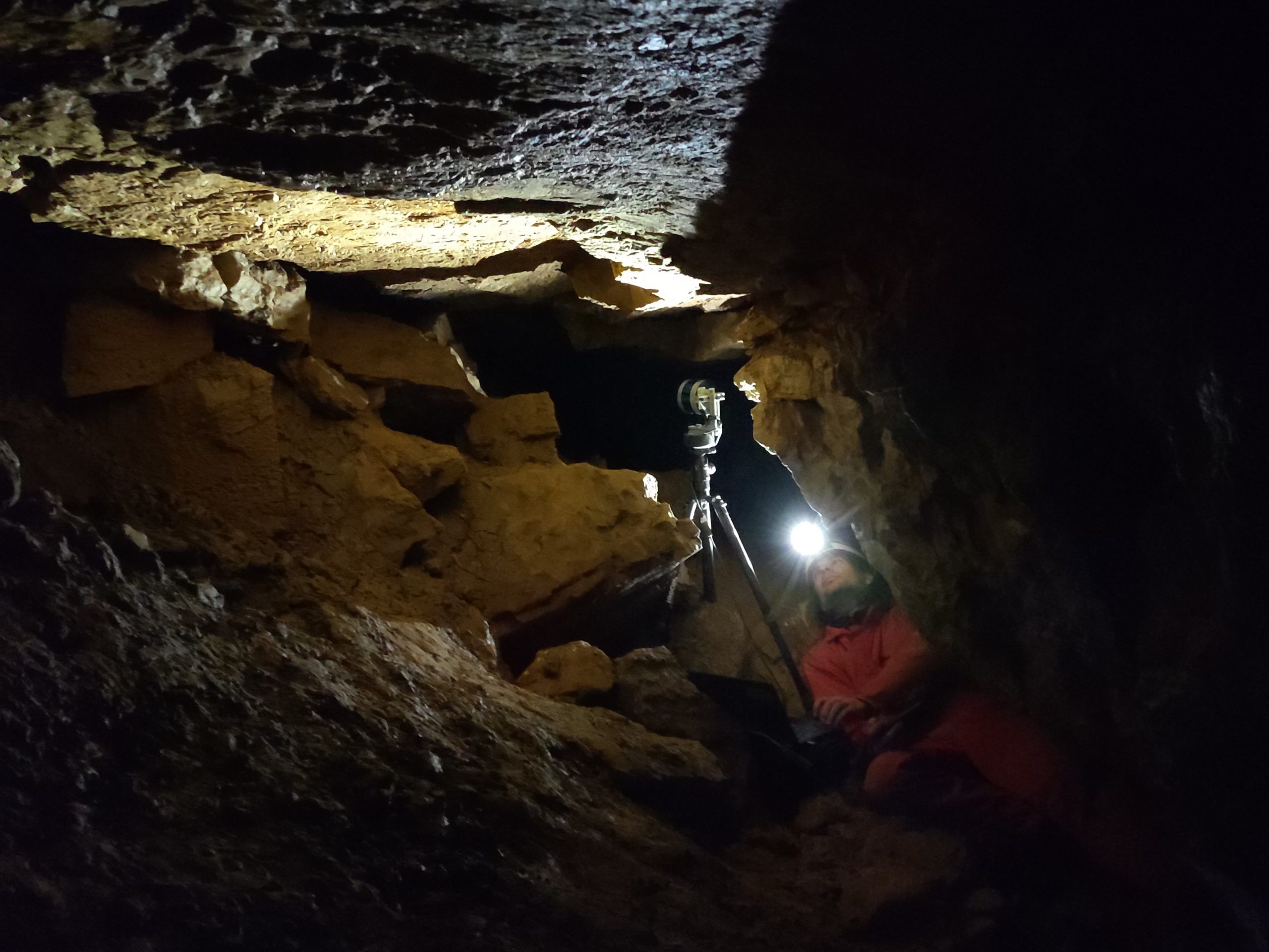
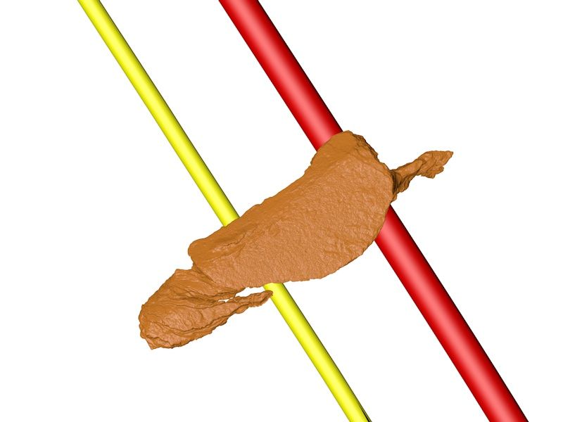
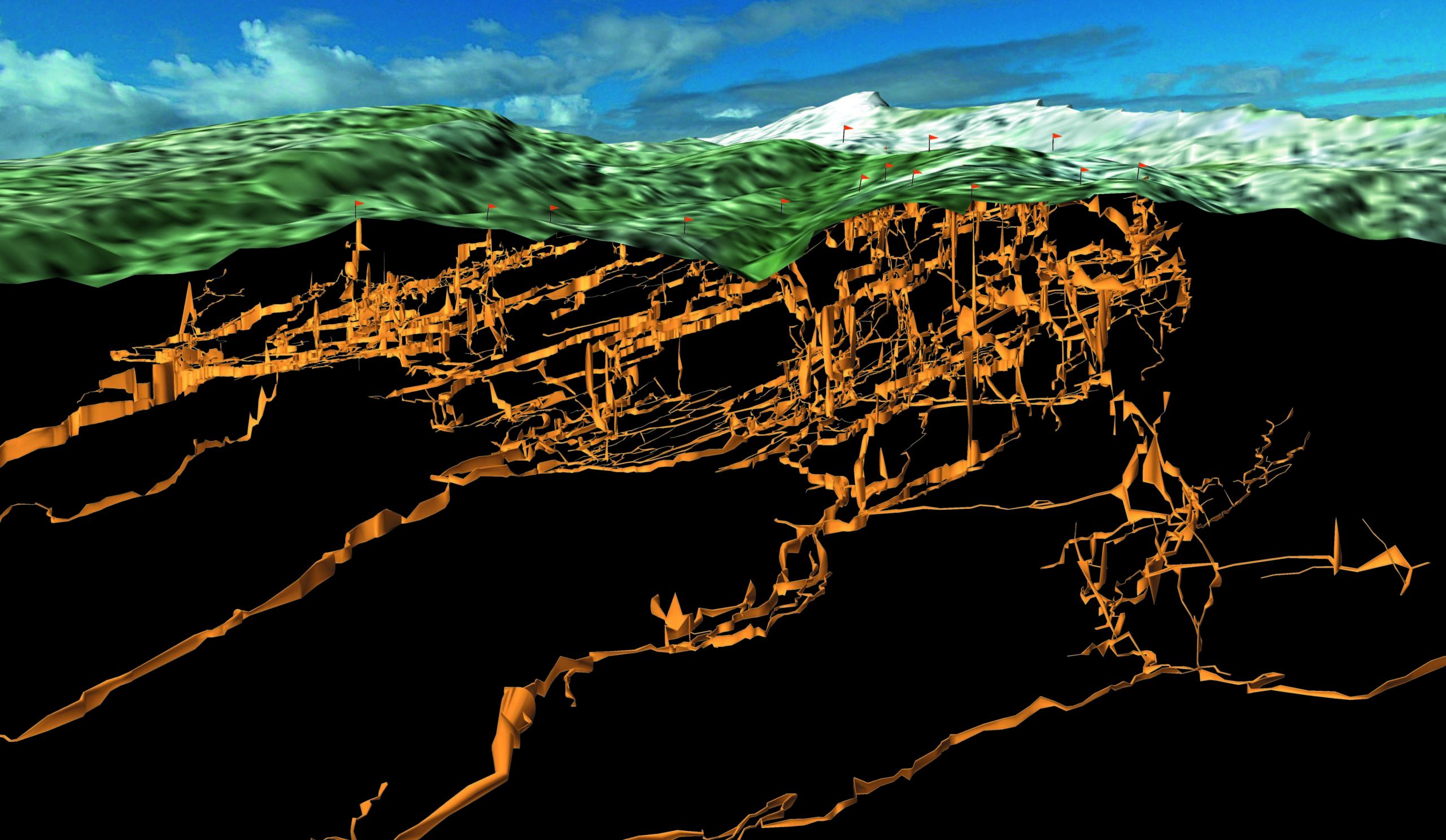
The SISKA is frequently involved in the production of underground models to help understand, develop and exploit underground geological and hydrogeological aspects. Various tools can be proposed for the location, topography or 3D acquisition of underground voids. There are many examples of applications:
- Designing underground developments: tourist infrastructures, laying pipes, etc. or surface developments interacting with the subsoil;
- Planning for the exploitation strategy of underground deposits (e.g. salt mines) or for the assessment of backfill capacities;
- Documentation of historic underground structures, etc.
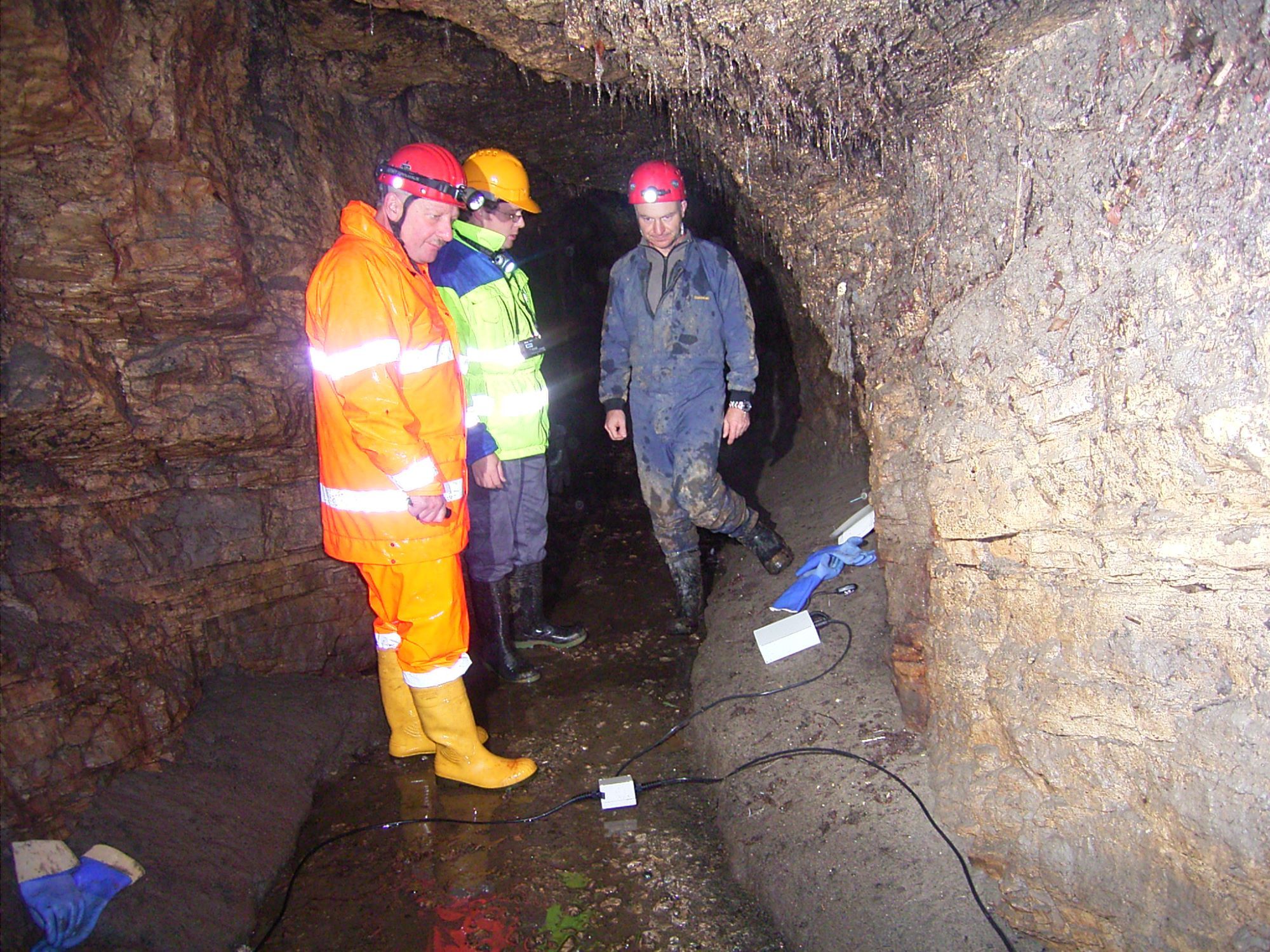
The SISKA also has a great deal of experience in the instrumentation of phenomena in underground environments, particularly in the context of monitoring groundwater quality, the quality of the underground atmosphere or tremors during development work.
Renewable energy
Karst regions are increasingly concerned with the development of infrastructure for the production of renewable energy, mainly hydroelectric, geothermal and wind power. The SISKA assists developers with renewable energy projects in these regions.
Underground hydropower
Karst groundwater offers some potential for generating electricity. However, such exploitation is not without risk to the environment, and the risks must be assessed by specialists.
The SISKA is active in this field, providing support for projects and carrying out impact studies. We are in a position to make a diagnosis at the pre-project stage to see whether the project has a chance of success and what adaptations would be necessary to comply with the various laws and practical instructions relating to projects in karst.
Wind turbines
The installation of wind turbines in karstic environments must be subject to specific support in terms of environmental impact and, conversely, the risks of stability for the structure.
Geothermal
The heat propagation mechanisms in karst subsoils are very different from those in other geological environments. Exploitation projects often require adaptation and specialised support. The SISKA has tools and experience in this field, and works in collaboration with the Centre for Hydrogeology and Geothermal Energy at the University of Neuchâtel, which is a recognised centre of expertise.
Fundamental research
Speleogenesis
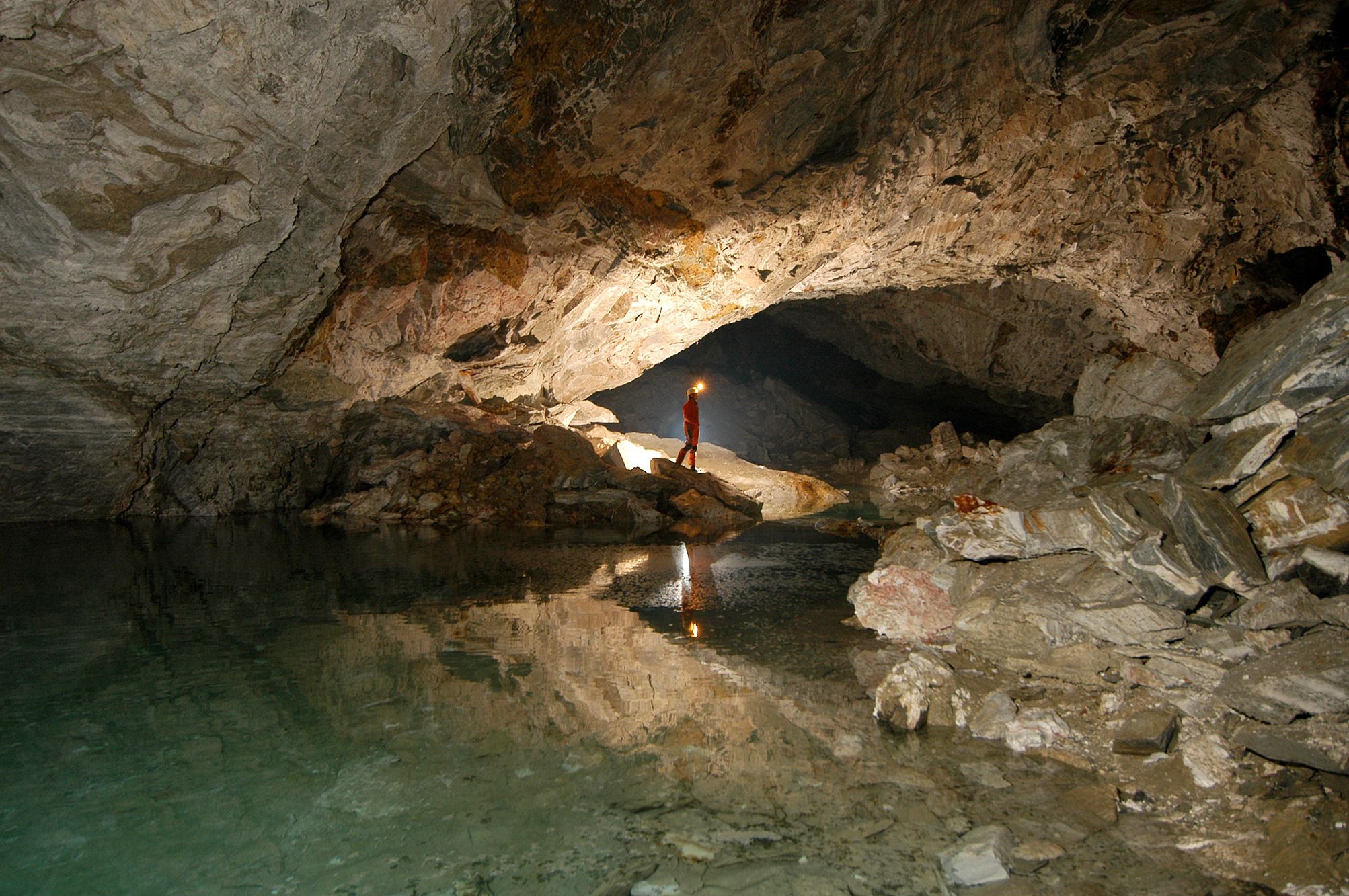
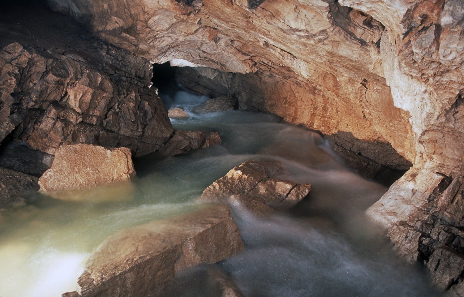
Caves and karstic landscapes are the result of the dissolution of limestone in rainwater. In some cases, dissolution can result from other causes (e.g. deep gas upwelling). Understanding how caves are formed is of obvious interest to the caver exploring them. However, predicting the presence of an underground void is also important information for an engineer building a tunnel or a hydrogeologist collecting water.
Several numerical models of speleogenesis have been developed over the last 35 years. They have taught us a great deal about the principles, rates of formation and broad outlines of the geometry of underground gallery networks. However, the characterisation of the ground parameters that feed these models is comparatively late. The SISKA's research is therefore helping to provide field data, represent it and compare it with the results of simulation models.
Karst structures clearly do not develop randomly. We have identified the general characteristics and can sketch out the areas that are potentially the most karstified. However, if we are to generate realistic networks, there is still work to be done for future generations...
Our work mainly concerns :
- The spatial distribution of karstic conduits (concept of inception horizons)
- The genesis of karstic networks in the epiphreatic zone (loops)
- The layering of karstic networks (speleogenetic phases)
At present, they are concentrating mainly on predicting the (probabilistic) position of ducts and on characterising them (size, shape, filling, water, etc.).
Underground climate
Although at first sight a highly academic subject, a detailed understanding of the underground climate is important for the management of archaeological, ornate and tourist caves, and even for certain speleological projects. It is also important for understanding the thermal characteristics of karstic massifs, and hence the installation of geothermal probes, or for explaining the presence of a natural glacier. Finally, it is necessary to interpret the variations observed in the growth of stalagmites and to produce palaeoclimatic reconstructions.
Current projects:
- CaveSeds
- Analysis of the interactions between ventilation, CO2 levels and water chemistry in the Milandre cave
- Long-term monitoring of several natural glaciers in the Jura
Past projects:
- Thermokarst
- Study of natural glaciers in the Jura
- Analysis of the climate in the Lascaux cave
- Study of the thermal properties of karstic massifs
- Assessment of the thermal potential of karstic massifs
- Artificial ventilation test in a karstic cavity (Milandre)
Karst recordings
Isolated from external erosion processes, caves preserve sedimentary sequences spanning hundreds of thousands or even millions of years. The study of these deposits, whether detrital sediments (i.e. laminites, pebbles) or speleothems (i.e. stalagmites), provides valuable information on climatic and environmental changes over time. From glacial cycles to seasonal fluctuations, cave sediments provide valuable information about our past environment.
In addition to dating these sediments, the SISKA is studying their mineralogical (calcite, aragonite, quartz, etc.), geochemical (Mg, Sr, Ba, S, etc.) and isotopic (d18O, d13C, etc.) signatures, as well as their faunal (microinvertebrates, bones) and botanical (pollens) content.
See also our expertise in archaeozoology.
-
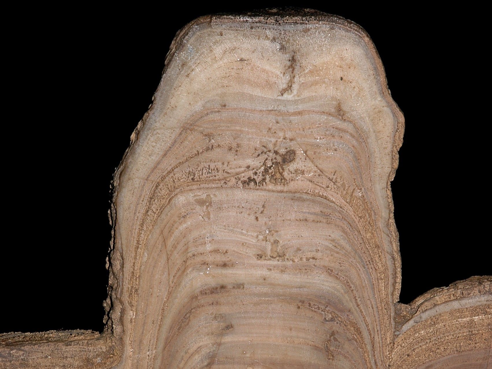

Stalagmite cut for analysis. SISKA
-
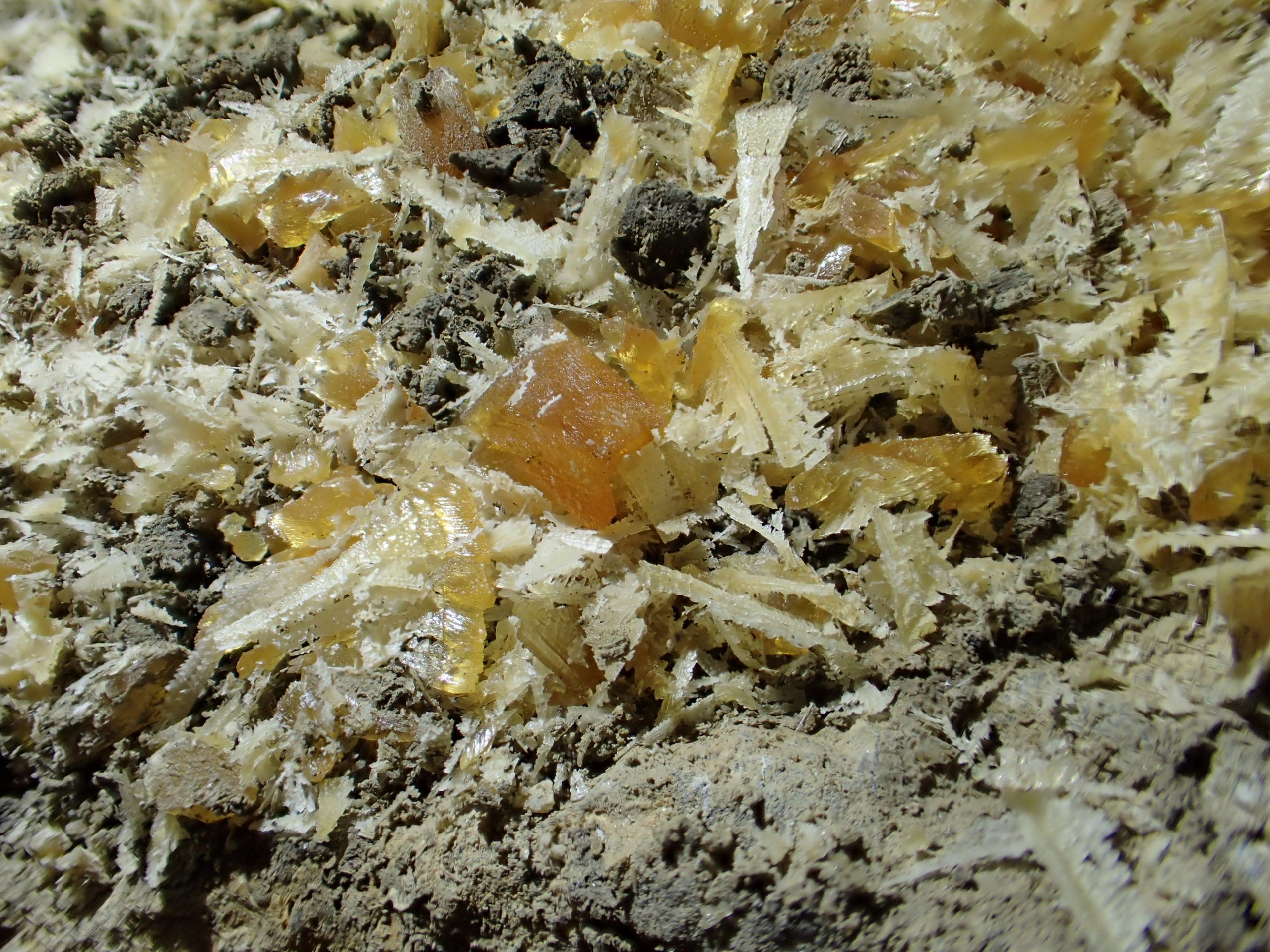

Cryogenic calcites are formed when water in a karst freezes. They are evidence of both temperatures below 0°C and the presence of liquid water in a cavity. Studying them enables us to reconstruct the evolution of permafrost over time. SISKA
-
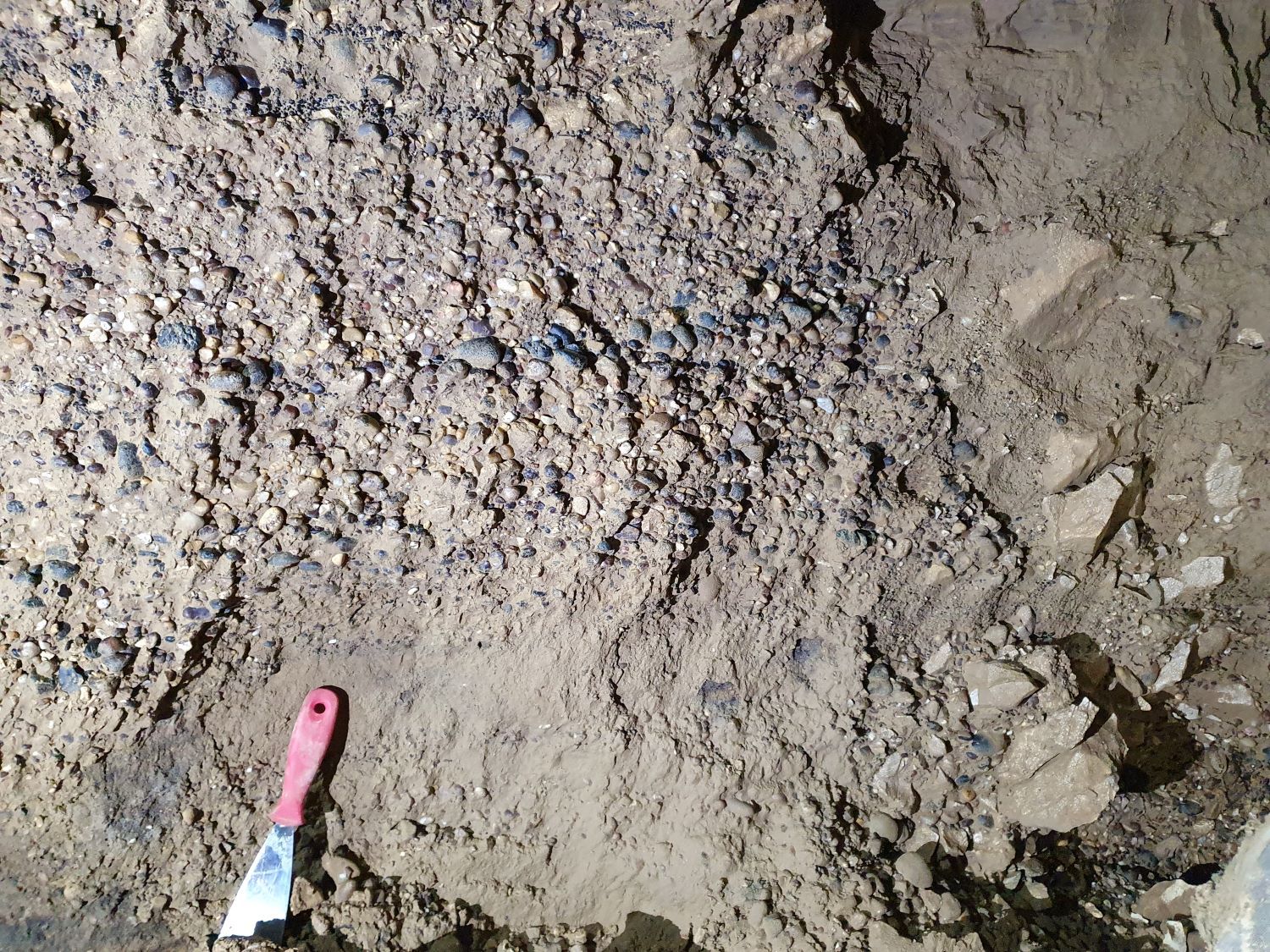

The detrital sequences observed in caves provide information about past environmental changes and can be dated using isotopic methods. SISKA
Climate change and karst
Climatic conditions have many influences on karst. Among these, the SISKA is mainly assessing the effect of climate change on the following elements.
- Infiltration of water into the subsoil or recharge of aquifers. This has a direct influence on the quantity of groundwater available. It is the result of a delicate balance between climatic factors (rainfall, temperature, etc.) and biopedological factors (vegetation and soil).
- The precipitation of calcite in stalagmites is particularly relevant to palaeoclimatic reconstruction. The layers of calcite deposited in stalagmites record the climatic conditions prevailing at the time of their deposition, in a similar way to the rings on the trunk of a tree.
- The dissolution of limestone plays a role in slowing down global warming. Indeed, it has been shown that global warming increases biological activity in soils, leading to an increase in the soil's CO2 content. Water infiltrating the soil therefore dissolves more CO2, which in turn allows it to dissolve more limestone. The result is that for each additional molecule of limestone dissolved, one molecule has been removed from the soil, and therefore from the earth's atmosphere. This removal of CO2 could explain a large part of what specialists call the "carbon sink", i.e. the fact that atmospheric CO2 is increasing less quickly than model estimates.

